UNMATCHED
MINE MAPPING

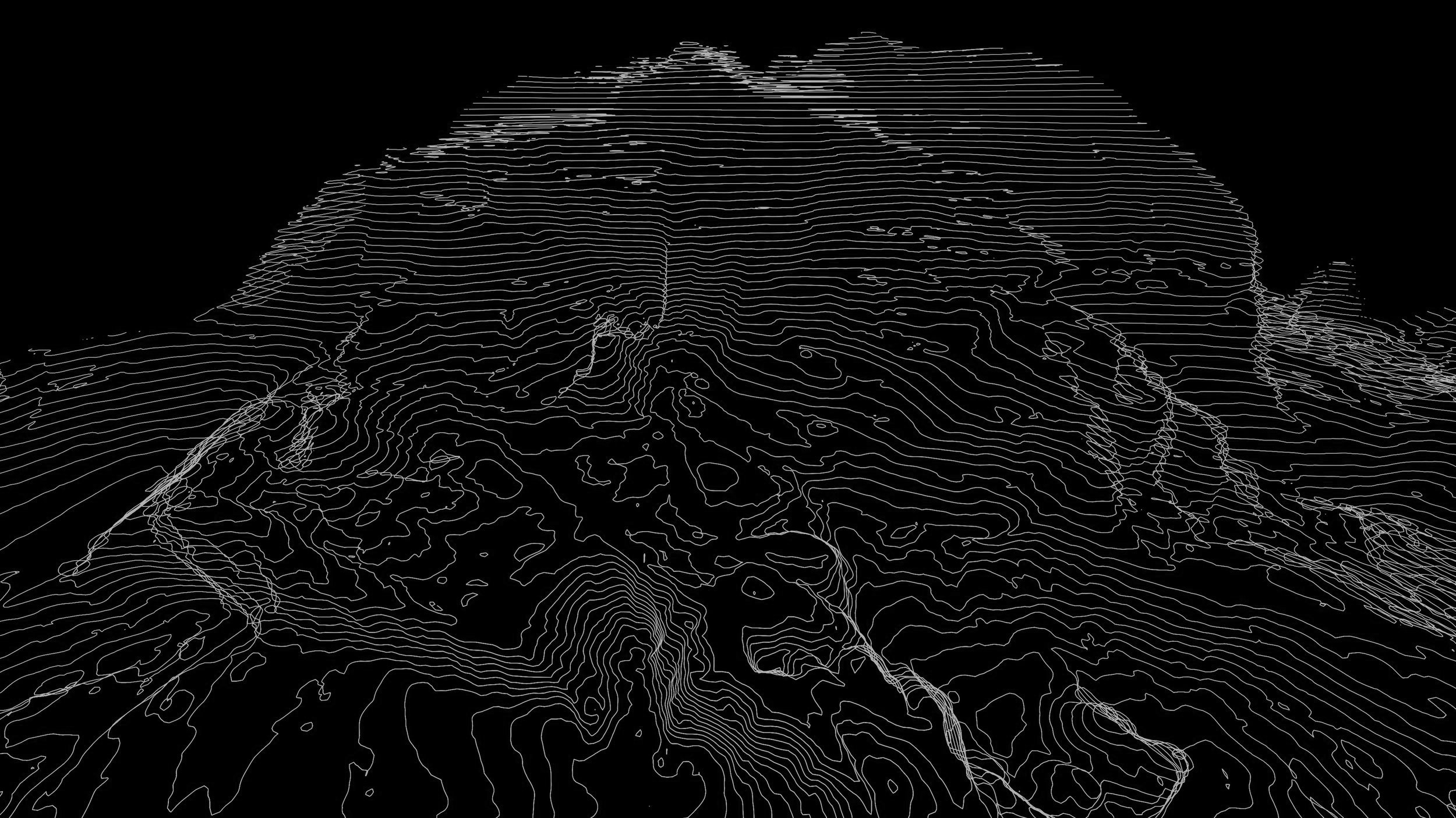
Utilizing our autonomous aerial and ground based robots, we gather comprehensive data — including topography, visual, hyperspectral, and subsurface surveys — in extreme environments.
SMART TECHNOLOGY.
SMARTER MINES.
With these data, we use our advanced AI to deliver high-fidelity 2D and 3D maps or complete digital twins of your industrial mine sites.
10x Faster
3D map creation
High-fidelity
digital twins of sites
Extreme environment
operations
autonomous
ground robots
WHY ROBOTICS & ARTIFICIAL INTELLIGENCE?
Precision mapping
for targeted exploration

Optimize Your Operations
Identify mineralization zones with unprecedented accuracy for enhanced efficiency.
Faster data delivery
to improve production

Accelerate Success
Get meaningful and data-driven insights into your properties in days, not weeks.
Tailored solutions
for your unique needs

Customized Solutions.
We adapt our data collection to meet your requirements for well-informed decision making.